|
|
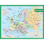
Convenient, useful learning tools that decorate as they educate! Each chart measures 17 by 22. Related lessons and activities are provided on the back of every chart. - Convenient, useful learning tools that decorate as they educate!
- Each chart measures 17 by 22
- Related lessons and activities are provided on the back of every chart.
NON-RETURNABLE: This item is non-returnable
|
Log in for Price
TCR7654
|
|
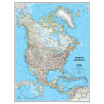
The political map of North America features trademark National Geographic detail and accuracy. The map shows country boundaries, place-names, major highways and roads, bodies of water, and more. An inset map shows the Aleutian Islands off the coast of Alaska. - The map shows country boundaries
- Major highways and roads
- Made in the USA
NON-RETURNABLE: This item is non-returnable
|
Log in for Price
NGMRE00620148
|
|
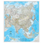
Detailed National Geographic cartography includes country boundaries, place-names, bodies of water, and more for the entire Asian continent. - Detailed National Geographic cartography
- Entire Asian continent
- Includes country boundaries, place-names, bodies of water, and more
NON-RETURNABLE: This item is non-returnable
|
Log in for Price
NGMRE00620145
|
|
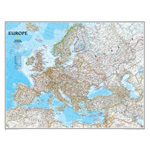
Our classic political map of Europe features country boundaries, place-names, bodies of water, airports, major highways and roads, and much more. - Bodies of water
- Airports
- Made in the USA
NON-RETURNABLE: This item is non-returnable
|
Log in for Price
NGMRE00620147
|
|
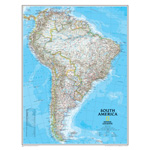
This classic map of South America shows political boundaries, place-names, airports, major roads and highways, and other geographic features for the entire continent. - Bodies of water
- Airports
- Made in the USA
NON-RETURNABLE: This item is non-returnable
|
Log in for Price
NGMRE00620150
|
|
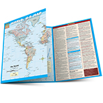
This handy notebook sized laminated map folds out to 11 by 17 inches with the World on one side and the U.S. on the other, plus an additional page of World & U.S. statistics and trivia for each map. Guide Includes: United States map Satellite imaged topography of the U.S. States & state capitals Cities labeled by human population National parks & preserves Man-made waterways, swamps & marshlands Time zone boundaries World map National capitals & large cities Satellite imaged topography of the World Distance & scale Extremely detailed boundaries and coastlines. Perfect for students of all ages and anyone interested in expanding their knowledge of the United States and the World. *Classroom bonus the large wall map can be used for the whole class while students reference their individual maps at their desks (lamination makes for durable classroom sets). - Extremely detailed boundaries and coastlines of the United States and state capitals
- Perfect for students of all ages and anyone interested in expanding their knowledge of the United States and the World.
- Classroom bonus the large wall map can be used for the whole class while students reference their individual maps at their desks (lamination makes for durable classroom sets)
NON-RETURNABLE: This item is non-returnable
|
Log in for Price
QS220534
|
|
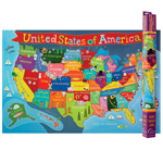
This colorful 24 x 36 Kid's USA Map will brighten up any space as your child enjoys the fun illustrations. It is solidly laminated for long time enjoyment. - Bring color and fun to your child's wall with this beautiful USA map
- Laminated map measures 24 x 36
- Grade PK+
- It is solidly laminated for long time enjoyment
NON-RETURNABLE: This item is non-returnable
|
Log in for Price
RWPKM02
|
|
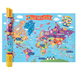
This colorful 24 x 36 Kid's World Map will brighten up any space as your child enjoys the fun illustrations. It is solidly laminated for long time enjoyment. - Bring color and fun to your child's walls with this beautiful World Map
- Laminated map measures 24 x 36
- Recommended for PreK+
- It is solidly laminated for long time enjoyment
NON-RETURNABLE: This item is non-returnable
|
Log in for Price
RWPKM01
|
|
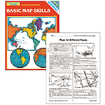
Teach students how to read different kinds of maps. Exercises focus on compass roses, latitude and longitude, time zones, landforms, types of maps, and more. Includes local, U.S., and world geography. Grades 6-9. - Teach students how to read different kinds of maps
- Exercises focus on compass roses, latitude and longitude, time zones, landforms, types of maps, and more
- Includes local, US, and world geography
- Great informational book for classroom learning process
NON-RETURNABLE: This item is non-returnable
|
Log in for Price
MCR651
|

|
10.8" (0.9 ft) Width x 10.8" (0.9 ft) Height - Poly-coated Cardboard Surface - Square - 1 Each
|
Log in for Price
ASH98008
|
|


